Applying GIS Data to Real World Policy
March 14, 2023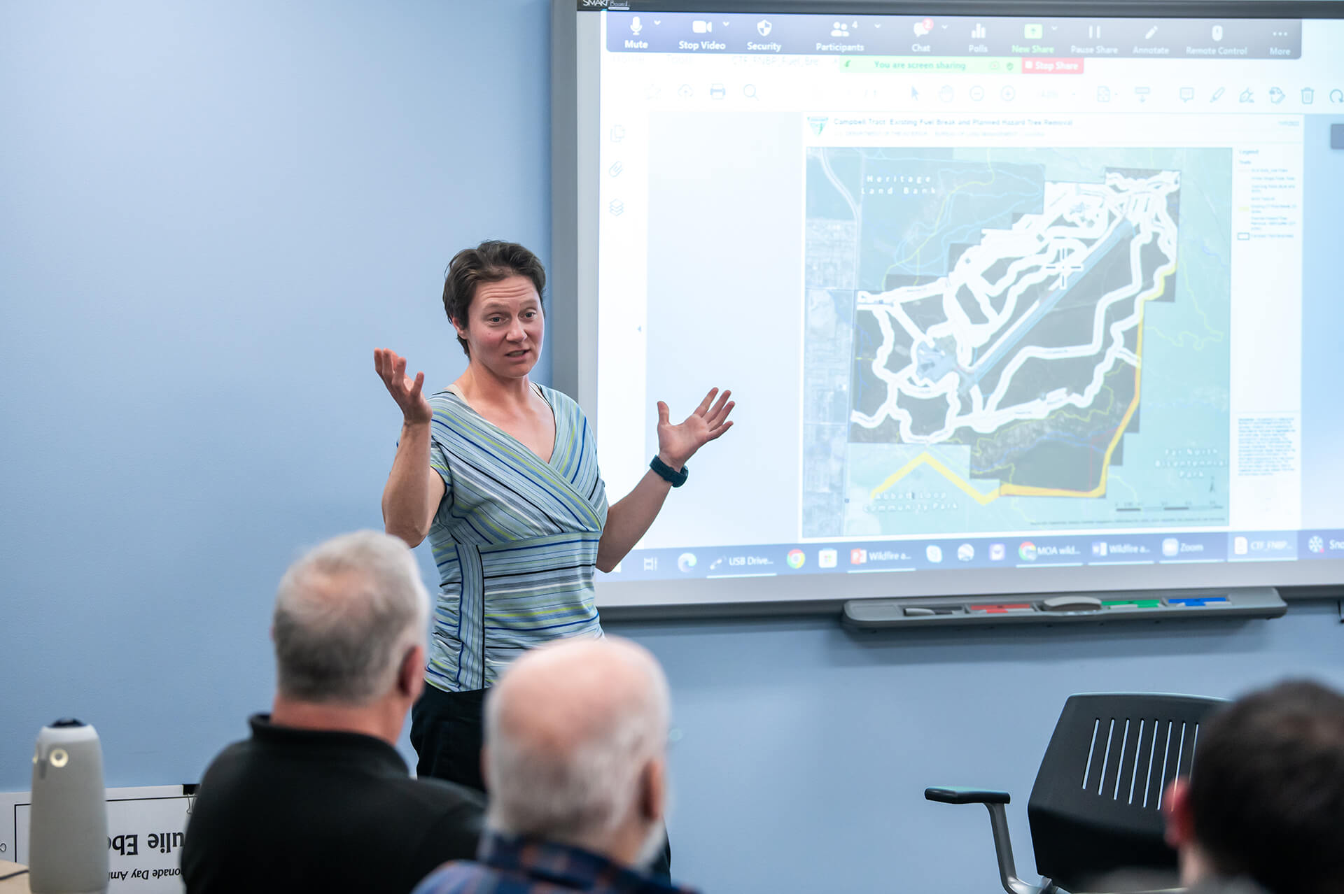 Dr. Jennifer Schmidt, UAA Associate Professor of Natural Resource Management, facilitates
a wildfire and egress community meeting for Anchorage community councils and agencies
to help plan for wildfires, November 2022. Schmidt has developed a new graduate course
focusing on GIS and public policy. Photos: UAA/James Evans
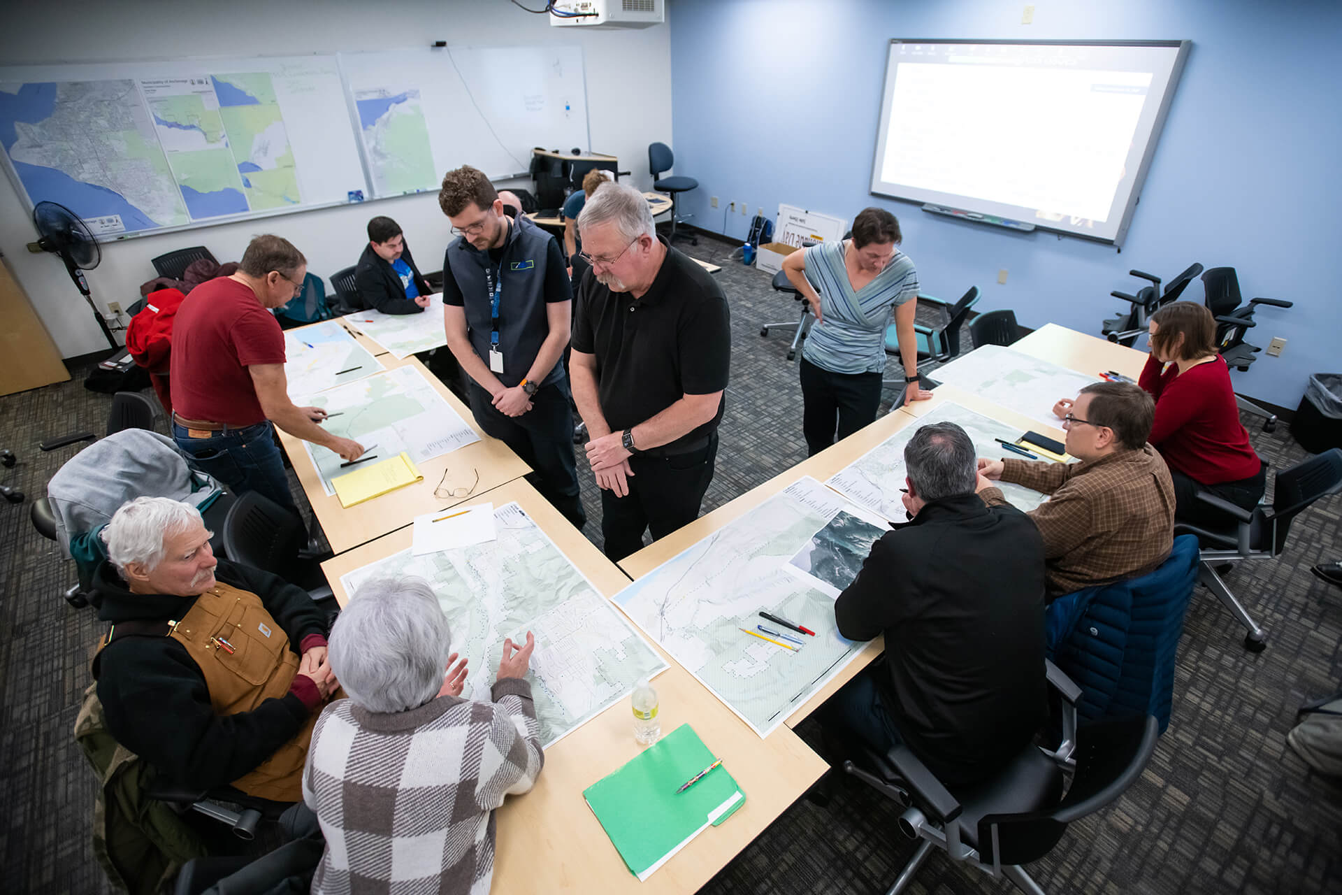
Dr. Jennifer Schmidt, UAA Associate Professor of Natural Resource Management, facilitates
a wildfire and egress community meeting for Anchorage community councils and agencies
to help plan for wildfires, November 2022. Schmidt has developed a new graduate course
focusing on GIS and public policy. Photos: UAA/James Evans
How do hunting regulations affect when people hunt? Is there a pattern to crime? What can we do about food deserts? A new online graduate course in Geographic Information Systems (GIS) analysis will show students how they can apply mapping skills to real world policy questions like these.
“GIS Systems for Policy and Planning” (PADM 671) will debut this summer on Monday and Wednesday evenings. It will cultivate GIS analysis skills with hands-on activities across a range of policy topics - environmental, health, voting, education and more.
“GIS is a highly valued skill used in many fields,” said Dr. Jen Schmidt, Associate Professor of Natural Resource Management. “We developed the course so that current users of GIS can gain a competitive edge by learning the tools and datasets used to apply GIS information to a wide range of policy issues.”
Schmidt has real-world experience to share. Her project to develop wildfire risk maps has gained a lot of attention for its merging of data with practical application for residents throughout the state. She has also led an Anchorage egress mapping project that will provide the municipality with critical information on which neighborhoods need more options for retreating in the event of wildfire on the Anchorage hillside.
“GIS Systems for Policy and Planning” will familiarize students with Alaska and Arctic datasets and issues. They will also get experience with various spatial analysis tools that can be used to explore spatial questions related to policy decisions and planning. Finally, they will use social and environmental GIS datasets to test hypotheses, discover spatial patterns, and visualize data related to relevant policy issues among a variety of disciplines.
Students do need to be familiar with GIS, said Schmidt, but there’s a free 4-week self-paced course through UAF EdX that provides the required skillset. Students who have taken STAT A200 or equivalent and GISA101 also meet the prerequisites.
Students who have questions or are prompted for an instructor override during registration should email Dr. Schmidt.